ꯐꯥꯏꯜ:Atlantic Ocean location map.svg

Size of this PNG preview of this SVG file: ৫০৮ × ৫৯৯ ꯄꯤꯛꯆꯦꯜꯁ. ꯑꯇꯩ ꯁꯦꯡꯅ ꯌꯦꯡꯕ ꯌꯥꯕ: ২০৩ × ২৪০ ꯄꯤꯛꯆꯦꯜꯁ | ৪০৭ × ৪৮০ ꯄꯤꯛꯆꯦꯜꯁ | ৬৫১ × ৭৬৮ ꯄꯤꯛꯆꯦꯜꯁ | ৮৬৮ × ১,০২৪ ꯄꯤꯛꯆꯦꯜꯁ | ১,৭৩৭ × ২,০৪৮ ꯄꯤꯛꯆꯦꯜꯁ | ৭১৪ × ৮৪২ ꯄꯤꯛꯆꯦꯜꯁ.
ꯐꯥꯏꯜ ꯑꯁꯦꯡꯕ (ꯑꯦꯁ•ꯚꯤ•ꯖꯤ ꯐꯥꯏꯜ, ꯌꯥꯝꯗꯅ ৭১৪ × ৮৪২ ꯄꯤꯛꯆꯦꯜ, ꯐꯥꯏꯜ ꯆꯥꯎꯕꯒꯤ ꯆꯥꯡ: ২৩৪ KB)
ꯑꯇꯦꯟꯕꯥ ꯁꯟꯗꯣꯛꯅꯥ ꯇꯥꯛꯄꯥ
| ꯁꯟꯗꯣꯛꯅꯥ ꯇꯥꯛꯄꯥ |
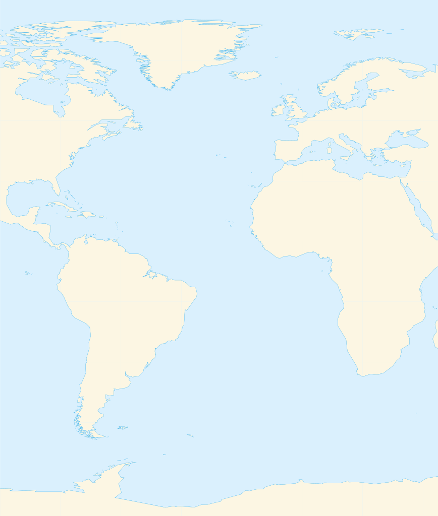
Deutsch: Positionskarte des Atlantischen Ozeans
Quadratische Plattkarte. Geographische Begrenzung der Karte:
English: Location map of the Atlantic Ocean
Equirectangular projection. Geographic limits of the map:
|
| ꯆꯩꯆꯠ | |
| ꯍꯧꯔꯛꯐꯛ | ꯏꯁꯥ ꯏꯊꯟꯇꯒꯤ ꯑꯣꯏꯕꯥ ꯊꯕꯛ, Using GMT |
| ꯄꯨꯊꯣꯛꯂꯤꯕ ꯃꯤ | Catrin |
| Other versions | File:Atlantic Ocean satellite image location map.jpg |
ꯑꯌꯥꯕꯥ
I, the copyright holder of this work, hereby publish it under the following licenses:

|
ꯁꯤꯟꯗꯣꯛꯅꯕ ꯑꯌꯥꯕꯗꯨ ꯄꯤꯔꯦ, ꯌꯦꯟꯊꯣꯛꯎ ꯑꯃꯁꯨꯡ/ꯅꯠꯇ꯭ꯔꯒ ꯃꯑꯣꯡ ꯱ꯗ ꯁꯦꯝꯗꯣꯛꯎ ꯃꯁꯤꯒꯤ ꯐꯥꯏꯜ ꯑꯁꯤ ꯖꯤ•ꯑꯦꯟ•ꯌꯨ ꯃꯃꯜ ꯇꯤꯡꯗꯕ ꯗꯣꯀꯨꯃꯦꯟꯇꯦꯁꯟꯒꯤ ꯑꯌꯥꯕ ꯌꯥꯅꯕꯒꯤ ꯃꯈꯥꯗ, ꯚꯔꯖꯟ ꯱.꯲ ꯅꯠꯇ꯭ꯔꯒ ꯇꯨꯡꯗ ꯂꯥꯛꯀꯗꯕ ꯚꯔꯖꯟ Free Software Foundationꯅ ꯐꯣꯡꯗꯣꯛꯂꯕ; ꯂꯣꯏꯅꯅ ꯈꯦꯠꯅꯕ ꯁꯔꯨꯛꯁꯤꯡ ꯌꯥꯎꯗꯅ, ꯂꯥꯏꯔꯤꯛꯀꯤ ꯃꯃꯥꯡꯒꯤ ꯃꯈꯨꯝ ꯌꯥꯎꯗꯕꯤ, ꯑꯃꯗꯤ ꯂꯥꯏꯔꯤꯛꯀꯤ ꯑꯔꯣꯏꯕ ꯆꯦꯈꯨꯝ ꯌꯥꯎꯗꯕꯤ ꯫ ꯁꯤꯟꯗꯣꯛꯄ ꯌꯥꯕꯒꯤ ꯑꯌꯥꯕꯁꯤꯡꯁꯤ GNU Free Documentation Licenseꯒꯤ ꯁ꯭ꯔꯨꯛꯁꯤꯡꯗ ꯌꯥꯎꯔꯦ ꯫ |
This file is licensed under the Creative Commons Attribution-Share Alike 3.0 Unported, 2.5 Generic, 2.0 Generic and 1.0 Generic license.
- ꯅꯪꯒꯤ ꯀꯨꯁꯤ:
- ꯃꯌꯥꯝꯗꯥ ꯐꯪꯍꯟꯕꯥ – ꯊꯥꯕꯛ ꯑꯗꯨ ꯁꯤꯟꯖꯤꯟꯕꯥ, ꯌꯦꯟꯊꯣꯛ ꯎ ꯑꯃꯥꯗꯤ ꯃꯐꯝ ꯱ ꯗꯥ ꯆꯠꯍꯟꯂꯨ
- ꯑꯃꯨꯛꯀꯥ ꯌꯥꯟꯁꯤꯟꯅꯍꯟꯕꯥ – ꯊꯥꯕꯛꯇꯨꯒꯥ ꯆꯨꯁꯤꯟꯅꯍꯟꯕꯥ
- ꯃꯈꯥꯒꯤ ꯌꯥꯅꯕꯒꯤ ꯃꯈꯥ ꯄꯣꯟꯅ:
- ꯈꯣꯝꯒꯠꯂꯛꯄꯥ – ꯅꯪꯅ ꯆꯞꯆꯥꯕ ꯇꯧꯕꯤꯃꯜ ꯄꯤꯕꯤꯒꯗꯕꯅꯤ, ꯑꯌꯥꯕ ꯄꯤꯔꯤꯕꯁꯤꯡꯒ ꯁꯝꯅꯐꯝ ꯄꯤꯒꯗꯕꯅꯤ ꯑꯃꯁꯨꯡ ꯑꯍꯣꯡꯕ ꯈꯔꯥ ꯂꯩꯔꯗꯤ ꯃꯗꯨ ꯎꯠꯀꯗꯕꯅꯤ ꯫ ꯅꯪꯅ ꯃꯗꯨ ꯃꯔꯝ ꯂꯩꯅ ꯇꯧꯒꯗꯕꯅꯤ, ꯑꯗꯨꯕꯨ ꯑꯌꯥꯕ ꯄꯥꯏꯔꯤꯕꯗꯨꯅ ꯍꯥꯏꯔꯛꯄ ꯃꯑꯣꯡ ꯅꯠꯇ꯭ꯔꯒ ꯅꯪꯅ ꯁꯤꯖꯤꯟꯅꯕ ꯃꯑꯣꯡꯗ ꯇꯧꯔꯣꯏꯗꯕꯅꯤ ꯫
- ꯃꯥꯟꯅꯕꯥ ꯁꯥꯔꯨꯛ – ꯀꯔꯤꯒꯨꯝꯅ ꯅꯪꯅ ꯌꯥꯟꯁꯤꯟꯅꯔꯕ, ꯍꯣꯡꯗꯣꯛꯍꯟꯂꯕ, ꯅꯠꯇ꯭ꯔꯒ ꯄꯣꯠꯆꯪꯁꯤꯡ ꯁꯥꯒꯠꯂꯕꯗꯤ, ꯅꯪꯒꯤ ꯍꯣꯠꯅꯖꯃꯟ ꯑꯗꯨ ꯃꯁꯤꯒꯤ same or compatible licenseꯒꯤ
ꯅꯪ ꯅꯁꯥꯅꯥ ꯃꯁꯤꯒꯤ ꯑꯌꯥꯕꯁꯤ ꯈꯟꯕꯥ ꯌꯥꯅꯤ ꯫
ꯐꯥꯏꯜꯒꯤ ꯄꯨꯋꯥꯔꯤ
ꯆꯩꯆꯠ/ꯃꯇꯝꯗ ꯅꯝꯃꯨ ꯃꯇꯝ ꯑꯗꯨꯗ ꯐꯥꯏꯜ ꯑꯗꯨ ꯎꯅꯕ
| ꯆꯩꯆꯠ/ꯃꯇꯝ | ꯈꯨꯠꯄꯤꯈꯨꯖꯤꯟ | ꯄꯥꯛ ꯆꯥꯎꯕꯥ | ꯁꯤꯖꯤꯟꯅꯔꯤꯕ | ꯑꯄꯥꯝꯕ ꯐꯣꯡꯗꯣꯛ ꯎ | |
|---|---|---|---|---|---|
| ꯍꯧꯖꯤꯛꯀꯤ | ꯲꯰:꯰꯹, ꯱꯹ ꯃꯥꯔꯆ ꯲꯰꯱꯰ | | ৭১৪ × ৮৪২ (২৩৪ KB) | Catrin | Replacing broken Version |
| ꯲꯰:꯰꯴, ꯱꯹ ꯃꯥꯔꯆ ꯲꯰꯱꯰ | ꯊꯝꯅꯦꯜ ꯅꯠꯇꯦ | (১২৬ bytes) | Catrin | {{Information |Description={{de|Positionskarte des Atlantischen Ozeans}} Quadratische Plattkarte. Geographische Begrenzung der Karte: * N: 90° N * S: 81° S * W: 100° W * O: 45° O {{en|Location map of the [[:en:Atlantic Ocean |
ꯐꯥꯏꯜꯒꯤ ꯁꯤꯖꯤꯟꯅꯐꯝ
ꯃꯇꯨꯡ ꯏꯟꯕ ꯂꯃꯥꯏꯁꯤꯖꯤꯟꯅꯕ ꯃꯁꯤꯒꯤ ꯐꯥꯏꯜ:
ꯃꯥꯂꯦꯝꯒꯤ ꯊꯥꯛꯇꯥ ꯁꯤꯖꯤꯟꯅꯕꯥ ꯐꯥꯏꯜ
ꯃꯁꯤꯒꯤ ꯐꯥꯏꯜ ꯑꯁꯤ ꯃꯈꯥꯒꯤ ꯑꯇꯩ ꯋꯤꯀꯤꯁꯤꯡꯅ ꯁꯤꯖꯤꯟꯅꯩ:
- ar.wikipedia.org ꯗꯥ ꯁꯤꯖꯤꯟꯅꯩ
- ألمانيا
- موريتانيا
- فرنسا
- الصحراء الغربية
- أنغولا
- بلجيكا
- آيسلندا
- إسبانيا
- السنغال
- غامبيا
- غينيا بيساو
- غينيا
- سيراليون
- ليبيريا
- غانا
- توغو
- بنين
- الغابون
- ساحل العاج
- السويد
- البرتغال
- كندا
- الكاميرون
- الأرجنتين
- جمهورية الكونغو الديمقراطية
- المملكة المتحدة
- جمهورية الكونغو
- ساو تومي وبرينسيب
- ناميبيا
- جمهورية أيرلندا
- الرأس الأخضر
- سورينام
- غيانا
- غينيا الاستوائية
- الجمهورية العربية الصحراوية الديمقراطية
- جرينلاند
- المغرب
- سكان الجمهورية العربية الصحراوية الديمقراطية
- قالب:البلدان والأقاليم المتاخمة للمحيط الأطلسي
- ليبورني
- سفيلاند
- نارك
- فاستمانلاند
- جيش التحرير الشعبي الصحراوي
- de.wikipedia.org ꯗꯥ ꯁꯤꯖꯤꯟꯅꯩ
- fr.wikipedia.org ꯗꯥ ꯁꯤꯖꯤꯟꯅꯩ
ꯌꯦꯡꯉꯨ ꯃꯂꯦꯝꯒꯤ ꯊꯥꯛꯀꯤ ꯁꯤꯖꯤꯟꯅꯐꯝ ꯑꯗꯨ ꯃꯁꯤꯒꯤ ꯐꯥꯏꯜꯁꯤꯗ ꯫